Forecasters predict "very strong" El Niño that could spark extreme weather
Washington DC - The US climate prediction center said Thursday that the potentially powerful El Niño weather pattern is "likely to emerge soon" and could reach "very strong" levels later in the year.
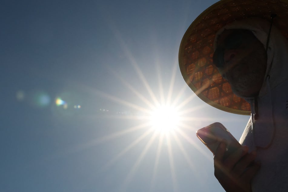
It's the latest forecast to raise concern over how the naturally occurring phenomenon could pile on to climate change impacts and leave populations worldwide vulnerable to extreme weather.
Scientists at the National Oceanic and Atmospheric Administration said in their latest monthly bulletin that there's an 82% chance El Niño will emerge between May and July and continue into next year.

And there's currently a more than 50% chance that it will become "strong" or "very strong" at some point from September through November, according to NOAA charts.
But scientists cautioned that "while confidence in the occurrence of El Niño has increased since last month, there is still substantial uncertainty in the peak strength of El Niño."
They also emphasized that "stronger events do not always mean bigger weather and climate impacts," though "stronger events can make it more likely that certain impacts could occur."
El Niño occurs around every two to seven years and is forecast based on sea temperatures.
It is one phase of a natural climate cycle in Pacific Ocean temperatures and trade winds. It influences global weather and increases the likelihood of drought, heavy rainfall, and other climate extremes.
It also adds heat to a planet already warmed from burning fossil fuels. The last El Niño helped make 2023 and 2024 the second- and first-hottest years on record, respectively.
Cover photo: PATRICK T. FALLON / AFP