Hurricane Erin downgraded to Category 3 as it lashes the Caribbean with rain
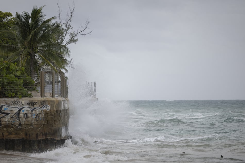
Washington DC - Offshore Hurricane Erin was downgraded to a Category 3 storm early Sunday, as rain lashed Caribbean islands and weather officials warned of possible flash floods and landslides.
The first hurricane of what is expected to be a particularly intense Atlantic season, Erin briefly strengthened into a "catastrophic" Category 5 storm before its wind speeds weakened.
It is expected to lash several Caribbean islands with heavy rain and strong winds, but not make landfall.
Hurricane Erin was located about 140 miles north of San Juan, Puerto Rico, at 0600 GMT, when it was gauged as a Category 3 storm with maximum sustained winds of 125 miles per hour, according to the Miami-based National Hurricane Center (NHC).

"The core of Erin is expected to pass to the east of Turks and Caicos Islands and the southeastern Bahamas tonight and Monday," the NHC said in its latest report, noting that it anticipated additional fluctuations in the storm's intensity.
A tropical storm watch was in effect for the Turks and Caicos Islands, while the Virgin Islands, Puerto Rico, and the southeast and central Bahamas were advised to monitor its progress.
Hurricane Erin had reached the highest level on the Saffir-Simpson scale just over 24 hours after becoming a Category 1 storm, a rapid intensification that scientists say has become more common due to global warming.
It could drench isolated areas with as much as eight inches of rain, the NHC said.
"Fluctuations in intensity are expected over the next day or two due to inner-core structural changes. Erin is becoming a larger system," the agency said.
It also warned of "locally considerable flash and urban flooding, along with landslides or mudslides."
Cover photo: Ricardo ARDUENGO / AFP