Sea level rise will sink US coastline, new interactive map shows
San Francisco, California - The Institute for Water Education in Delft (IHE Delft) released an interactive map that lets you look at what your nearest coastline will look like due to climate change. Best-case scenario? The entire US coastline, including Hawai'i and Alaska, will recede, and by the end of the century cities like New York and San Francisco will be partially underwater.
Planning on one day buying waterfront property? This map might be worth looking at to see if your dream beach house is doomed to fall into the ocean.
The interactive map, released October 11 by IHE Delft, focuses on sea level change, coastal flooding, extreme waves, and changes in shorelines.
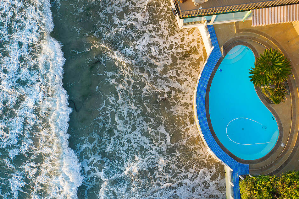
San Francisco's Ocean Beach will be a sliver of sand by 2050, and New York, which suffered heavily from Hurricane Ida, is so close to sea level that any serious shifts will threaten low-lying neighborhoods like Jersey City.

That is only the best-case scenario, if global warming is limited to 1.5 degrees Celsius relative to pre-industrial temperatures.
If the "blah blah blah" of world leaders continues and no sweeping change takes place in this decade, then the models show even more drastic sea level rise and shoreline shrinkage.
But the sneaky part of these changes is that they combine in a destructive way.
If a retreating shoreline, due to rising sea levels, gets hit with the projected monster waves, there is barely any beach to take the brunt of the wave before it smashes into seawalls or even onto streets and into neighborhoods.
In San Francisco, for example, Ocean Beach is projected to retreat by at least 200 feet by 2050, which leaves only a few feet left between the ocean and storefronts and homes. The waves there during winter swells can already top 10 feet, and would begin doing serious damage to the stretches of the beach without a seawall.
The hidden danger of erosion
What the interactive map doesn't show is the extra danger posed by eroding the nation's coasts.
Right now, the costs for dealing with and trying to prevent coastline erosion are already around $500 million per year.
Despite efforts to prevent the coastline from falling into the ocean, the seas snag an equivalent of seven football fields worth of land per hour.

The disappearing coastline pairs with the risk of storm surges, which threaten the nearly five million people in the US who live less than four feet above the high tide mark.
Encroaching water levels make storm surges, which are almost certainly going to be four feet above high tide markers by 2030, an existential threat that will only worsen by 2050 and the end of the century.
Oh, and although the projections talk about what the change in sea level will look like by a certain year, the damaging effects have already started and will continue unless climate change is stopped.
The interactive map from IHE Delft is a way to look at what parts of the US coastline will suffer the most from changes to rising ocean levels, much like a recent interactive climate change map from the Intergovernmental Panel on Climate Change, which looked at a bigger set of scenarios and details.
Cover photo: IMAGO/ZUMA Wire