Hurricane Ian forecast to strike west Florida earlier and harder
Sarasota, Florida - Hurricane Ian’s projected path shifted to the south Tuesday and farther away from Tampa Bay, a heavily populated region highly vulnerable to storm surge flooding, but the storm was still shaping up as a potential wide-ranging disaster for Florida.

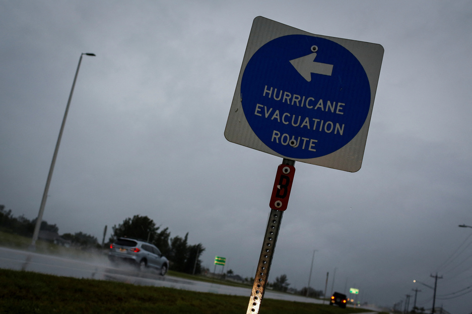
Much of the peninsula was under hurricane or tropical storm warnings. More than 2.5 million people had fled homes in high-risk coastal areas, some that could see storm surge up to 12 feet deep.
Flash flood warnings were posted for South and Central Florida with up to 24 inches of drenching rains possible for days to come. Tornado watches were also issued for much of southeast Florida.
Two tornadoes touched down in Broward, wreaking havoc. Numerous planes at North Perry Airport were flipped or torn apart, and neighborhoods saw downed trees and sign posts.
In the rest of the state: Schools were closed in many counties. Orlando theme parks prepared to shut down. Massive power outages are likely.
In its 8:00 PM Eastern time Tuesday forecast, the National Hurricane Center said the most direct and damaging impact from Hurricane Ian is expected to be somewhere along the Gulf Coast between Fort Myers and Sarasota.
Ian could come ashore as a Category 3 or 4 storm, packing 130 mph winds and possibly bringing historic levels of storm surge to the Sarasota area.
South Florida already seeing flooding and powerful wind gusts

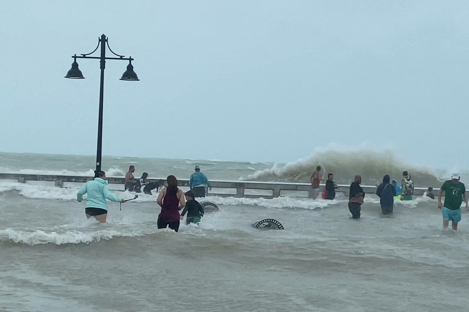
Two days out from landfall, South Florida was already feeling Ian’s first gusty, rainy bands – particularly in the Keys, where king tides also worsened some street and neighborhood flooding.
The latest forecast also moved landfall up by perhaps a half day to Wednesday afternoon, bringing a tropical storm warning to all of southeast Florida, including coastal Miami-Dade and Broward. South Florida was already seeing street flooding Tuesday morning, and officials urged residents of the Keys to take shelter as tornado warnings popped up.
As of a 10:00 PM position update from the NHC, Hurricane Ian was about 175 miles south-southwest of Punta Gorda and about 5 miles south of the Dry Tortugas, as the eye of the storm moved over the island.
It was still a Category 3 storm with 120 mph maximum sustained winds and a wind field holding at 140 miles from its center. It was heading north-northeast at 10 mph.
Ian’s center made landfall just southwest of La Coloma in the Pinar Del Rio Province of Cuba as a Category 3 with maximum sustained winds of 125 mph at 4:30 AM Tuesday.
"It should be emphasized that this track remains uncertain, with a typical spread in the steering features leading to big speed and track differences down the line, not to mention the oblique angle of approach to Florida," forecasters wrote in the 5:00 PM update.
Tampa Bay could still experience significant damage

Earlier tracks bee-lined into Tampa Bay, which hasn’t seen a direct hit in a century. The bay is uniquely vulnerable to storm surge, a trend potentially worsened by rising sea levels.
The population bloomed in the last hundred years, setting nearly 3 million people up for devastation in what Jamie Rhome, the acting director of the National Hurricane Center, called a near "worst case scenario" for the area.
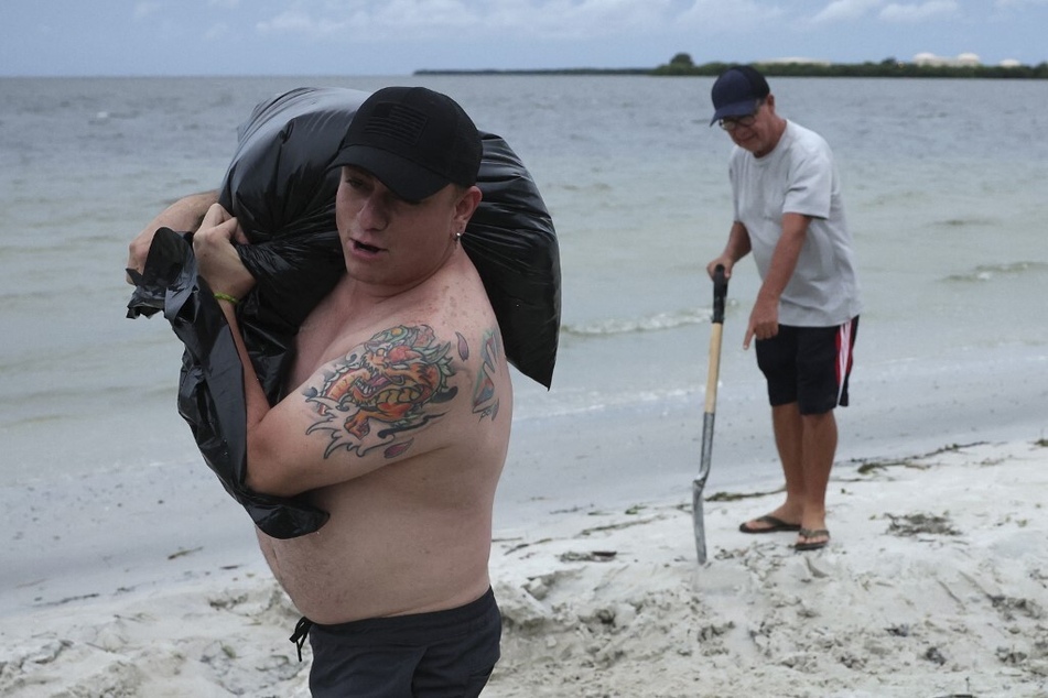
The city of Tampa ran out of sandbags by noon Tuesday after distributing nearly 50,000, and Tampa General, a waterfront hospital, had armored itself with an 8-foot storm surge barrier.
But on Tuesday, NHC forecasters nudged the track south, shifting the worst of the wind and storm surge impacts to the Sarasota area.
However, Rhome said, the drenching rains and still-high storm surge could lead to intense flooding.
"There’s been a narrative today that Tampa Bay has dodged a bullet. That is not true," he said. "While the surge threat may have gone down a little as the track shifted ... a band of very heavy rain looks like it’s going to set up to the north of where the center cuts through the state."
DeSantis said Tuesday that officials are still prepared for that scenario, with food and water packages staged across the state and a helicopter ready to deliver it to the Pinellas County peninsula if the bridges go out.
"Hopefully, it doesn’t come to that," he said.
Southeast Florida could see more intense flooding than usual

Ian is now forecast to be a Category 4 hurricane by the time it’s offshore of Florida’s west coast, with a potential landfall north of Port Charlotte Wednesday afternoon with 130 mph winds and gusts up to 160 mph.
At that point, the hurricane center expects Ian’s forward speed to slow to 5 mph, prolonging the heavy rains and storm surge and overall giving the storm much more time to soak Florida as it inches inland.
Because of that major slowdown, Florida is expected to see a lot of rain this week. South Florida and the Keys could see 6 to 8 inches, while the Tampa Bay area could see more than a foot of rain, with up to 2 feet in some spots.
Rhome, acting director of the hurricane center, warned that Ian’s rains will arrive long before the winds will, which could lead to significant flooding risk hours before Hurricane Ian’s center nears the coast.
"A typical summertime thunderstorm here in Florida would put down 1 inch. Multiple that by 10 or 15," he said.
Key West was feeling tropical storm level winds Tuesday night, and hurricane-force winds will hit the Cape Coral to Tampa area beginning Wednesday morning. They should be wrapped up by the end of the week, as Ian moves northeast across the state.
Nearly the entire state – except Southeast Florida and parts of the Panhandle – could see storm surge greater than 2 feet above dry land. The Sarasota area is the worst, with predictions for 8 to 12 feet from the middle of Longboat Key to Bonita Beach.
Michael Lowry, meteorologist for WPLG-TV, wrote in his Tuesday newsletter that the severity of the storm surge forecast "cannot be overstated."
"Ian has the potential for delivering the type of life-threatening coastal flooding this stretch of Florida hasn’t seen in modern memory," he wrote.
For the east coast, this coincides with the annual highest tides of the year, king tides. It’s already accounted for in the NHC forecast, but the additional rainfall could lead to more intense flooding than usual for southeast Florida.
Cover photo: REUTERS

